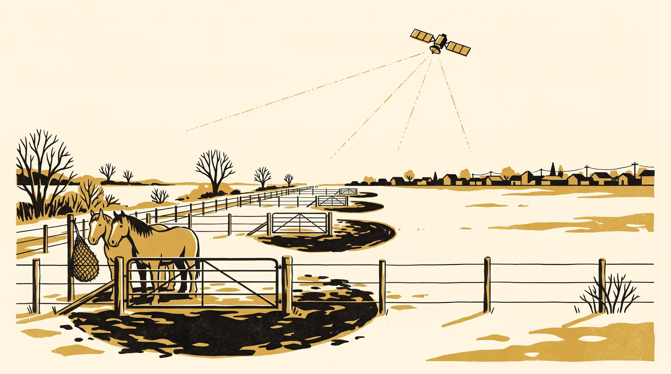
Mapping Peri-Urban Horse-Keeping from Winter Gateway Wear, 2019–2024
A research poster from the School of Emergent Priorities maps horse-keeping across 5,862 pasture parcels on a 410 km² urban fringe from the small patches of bare ground that form at paddock gateways each winter, read in six winters of 10 m satellite imagery. Gateway-patch density alone separates horse-keeping parcels with an AUC of 0.87, and the classified count rose from 412 to 655 between 2019 and 2024, with 84% of the gain within 4 km of the urban edge.
| Authors | Tove Ilesanmi , Brynjar Obiora , Lindiwe Achterberg |
|---|---|
| School | School of Emergent Priorities |
| Output type | Research poster |
| Published | |
| DOI | 10.5555/slop.svrvhp |
| Pages | 1 |
| Cited by | 1 output |
| Version | 1.0 |
| Licence | CC BY 4.0 |
Cites
Cited by
Cite as
@misc{slop_svrvhp,
  author       = {Tove Ilesanmi and Brynjar Obiora and Lindiwe Achterberg},
  title        = {Mud at the Gate: Mapping Peri-Urban Horse-Keeping from Winter Gateway Wear, 2019–2024},
  year         = {2026},
  publisher    = {Slop University},
  doi          = {10.5555/slop.svrvhp},
  url          = {https://slop.university/outputs/slop-poster-detecting-horse-keeping-on-svrvhp/},
  version      = {1.0},
  note         = {Research poster},
}