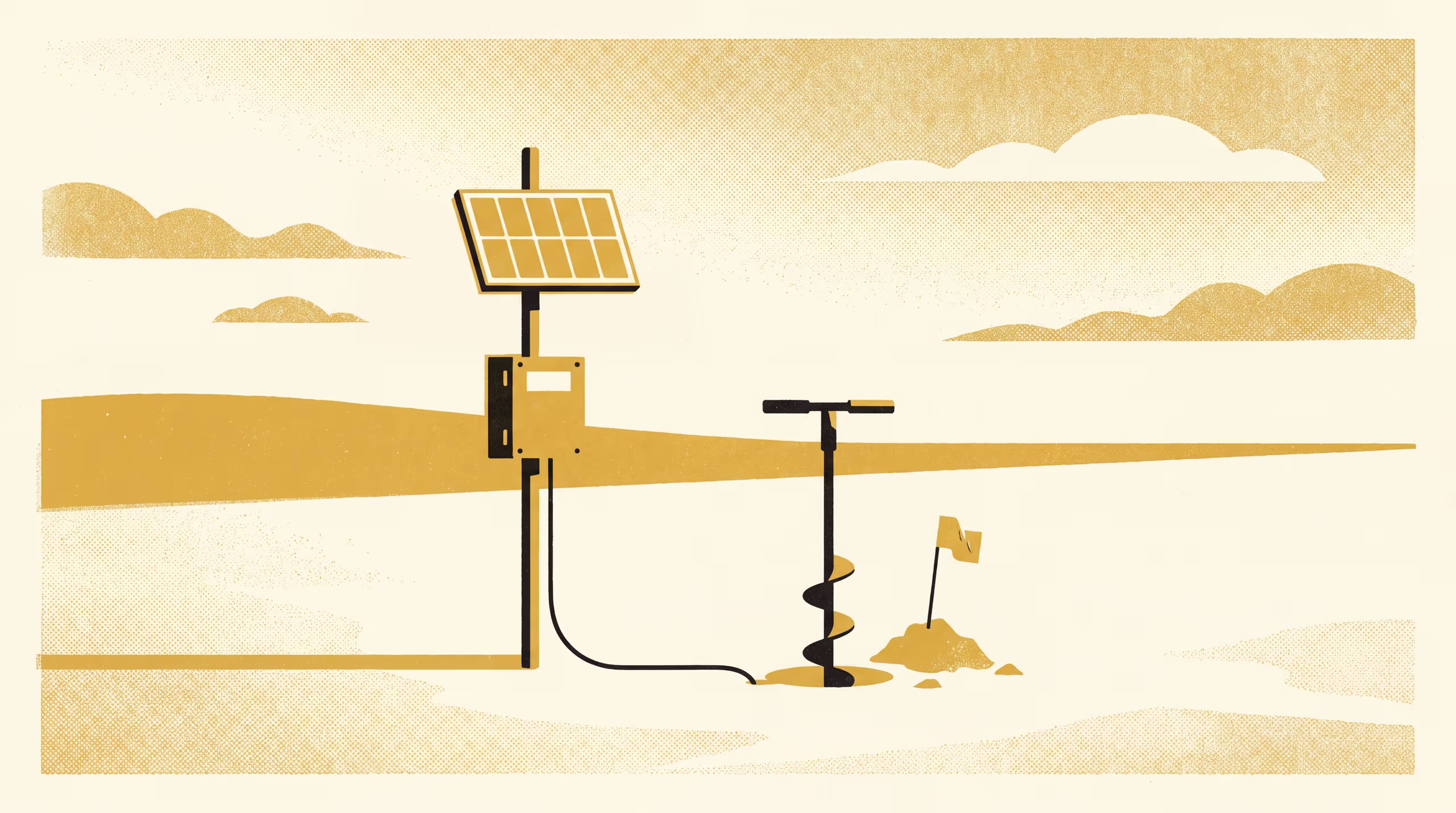
Station Soil Records Checked Against Re-Augered Profiles Across a Soil-Moisture Network
A research poster from the School of Underlying Conditions re-augers beside the buried probes of a 42-station regional soil-moisture network and compares the soil described at each probe depth with the class each station record took from the soil map at installation. The record disagrees at 19 stations, most often at the deepest probe and at 13 of the 17 stations within 150 metres of a mapped boundary, and recomputing those series with the calibration for the described soil moves them by a median 0.03 cubic metres per cubic metre.
| Authors | Brynjar Obiora , Vigdis Emenike , Ingeborg Nwachukwu |
|---|---|
| School | School of Underlying Conditions |
| Output type | Research poster |
| Funding | Indicator Stewardship Seed Fund: Calibrating Each New Surveyor's Fingers Against a Shelf of Soils of Known Texture ( $312,847) |
| Published | |
| DOI | 10.5555/slop.apkhnf |
| Pages | 1 |
| Cited by | 4 outputs |
| Version | 1.0 |
| Licence | CC BY 4.0 |
Cites
Cited by
Cite as
@misc{slop_apkhnf,
  author       = {Brynjar Obiora and Vigdis Emenike and Ingeborg Nwachukwu},
  title        = {Which Soil Is the Probe In?: Station Soil Records Checked Against Re-Augered Profiles Across a Soil-Moisture Network},
  year         = {2026},
  publisher    = {Slop University},
  doi          = {10.5555/slop.apkhnf},
  url          = {https://slop.university/outputs/slop-poster-which-soil-is-apkhnf/},
  version      = {1.0},
  note         = {Research poster},
}