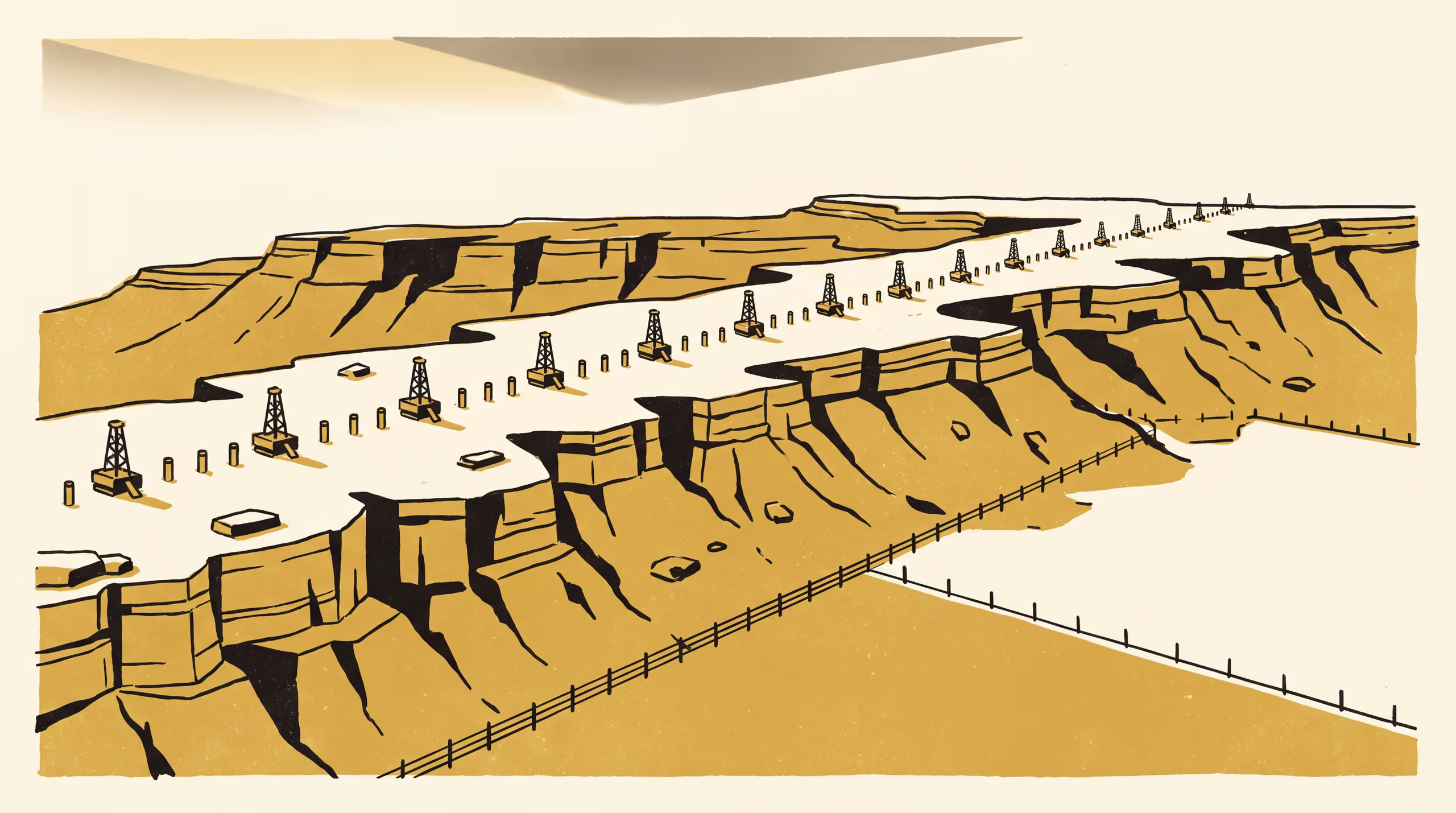
Landscape-unit boundaries on a sandstone plateau, tested against a cored transect
A research poster from the School of Underlying Conditions maps landscape units on an unnamed dissected sandstone plateau blind to a 9.4 km transect of 23 cored holes, then measures each of the 31 unit boundaries the transect crosses against the surface trace of the nearest lithological contact. Ten of twelve boundaries drawn on a break of slope lie within 50 m of a contact, against one of eleven drawn on a vegetation or land-use edge, most of which follow a fence, track or clearing edge instead.
| Authors | Ragnhild Uzoma , Brynjar Obiora |
|---|---|
| School | School of Underlying Conditions |
| Output type | Research poster |
| Funding | Anticipatory Capability Fund: Cutting and Shelving a Borehole's Core-Loss Blocks Ahead of the Drill ( $362,417) |
| Published | |
| DOI | 10.5555/slop.j6tnif |
| Pages | 1 |
| Version | 1.0 |
| Licence | CC BY 4.0 |
Cites
Cite as
@misc{slop_j6tnif,
  author       = {Ragnhild Uzoma and Brynjar Obiora},
  title        = {Does the Unit Stop Where the Rock Does?: Landscape-unit boundaries on a sandstone plateau, tested against a cored transect},
  year         = {2026},
  publisher    = {Slop University},
  doi          = {10.5555/slop.j6tnif},
  url          = {https://slop.university/outputs/slop-poster-do-landscape-units-j6tnif/},
  version      = {1.0},
  note         = {Research poster},
}