Land prices and land use across the mapped boundaries of a soil-keyed payment
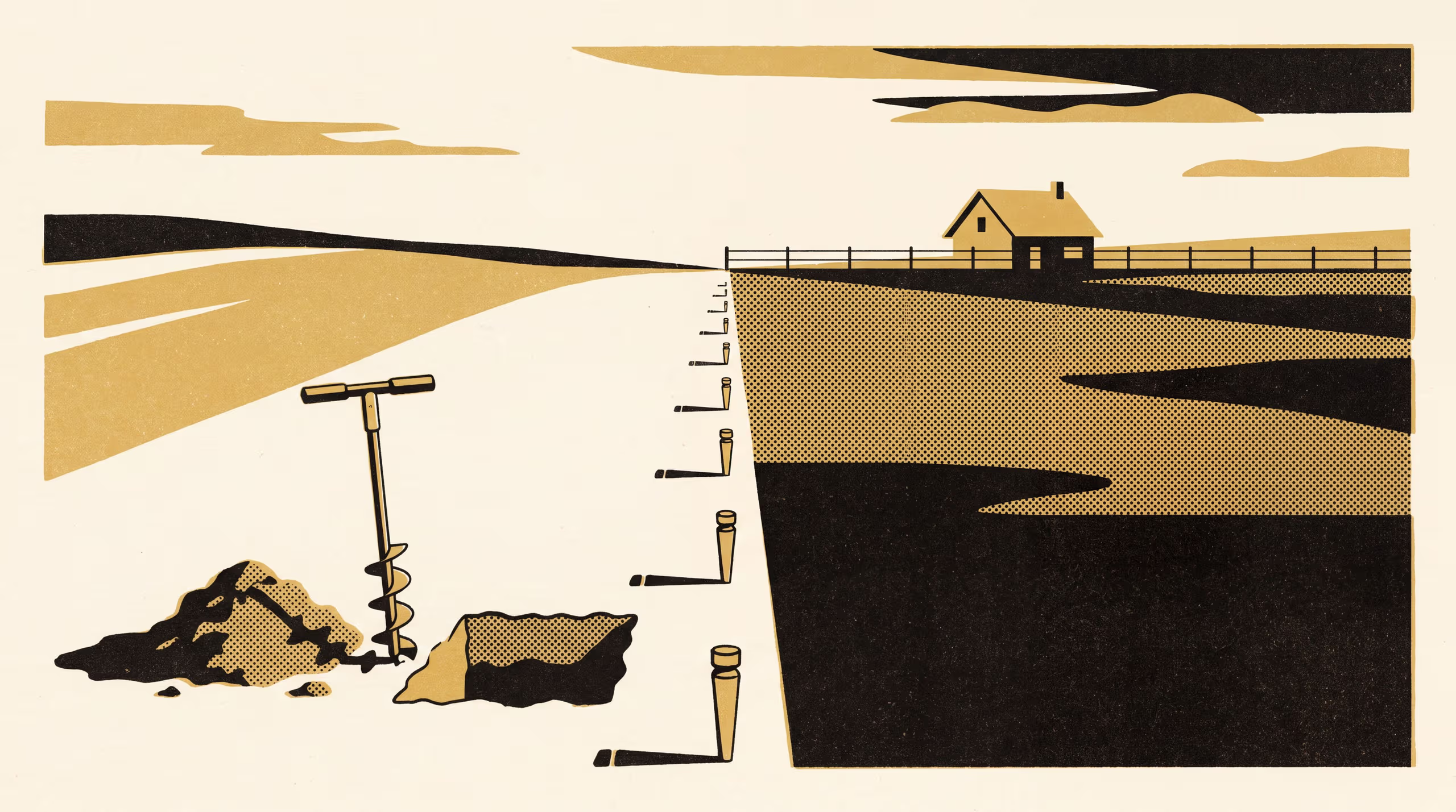
A research poster from the School of Underlying Conditions compares 1,214 farmland sales either side of 37 mapped soil-class boundaries that decide eligibility for a per-hectare conservation payment. Sale prices jump about 6% at the mapped line, roughly 58% of the payment stream's present value, while the soil itself, checked by 412 new auger holes, and the share of land cropped run on across the line unbroken.
| Authors | Brynjar Obiora , Runa Adegoke , Kwame Lindqvist |
|---|---|
| School | School of Underlying Conditions |
| Output type | Research poster |
| Published | |
| DOI | 10.5555/slop.mfug6n |
| Pages | 1 |
| Cited by | 2 outputs |
| Version | 1.0 |
| Licence | CC BY 4.0 |
Cites
Cited by
Cite as
@misc{slop_mfug6n,
  author       = {Brynjar Obiora and Runa Adegoke and Kwame Lindqvist},
  title        = {Paid at the Pencil Line: Land prices and land use across the mapped boundaries of a soil-keyed payment},
  year         = {2026},
  publisher    = {Slop University},
  doi          = {10.5555/slop.mfug6n},
  url          = {https://slop.university/outputs/slop-poster-a-spatial-regression-mfug6n/},
  version      = {1.0},
  note         = {Research poster},
}