Number variance of soil-pit patterns placed by an active-learning boundary mapper
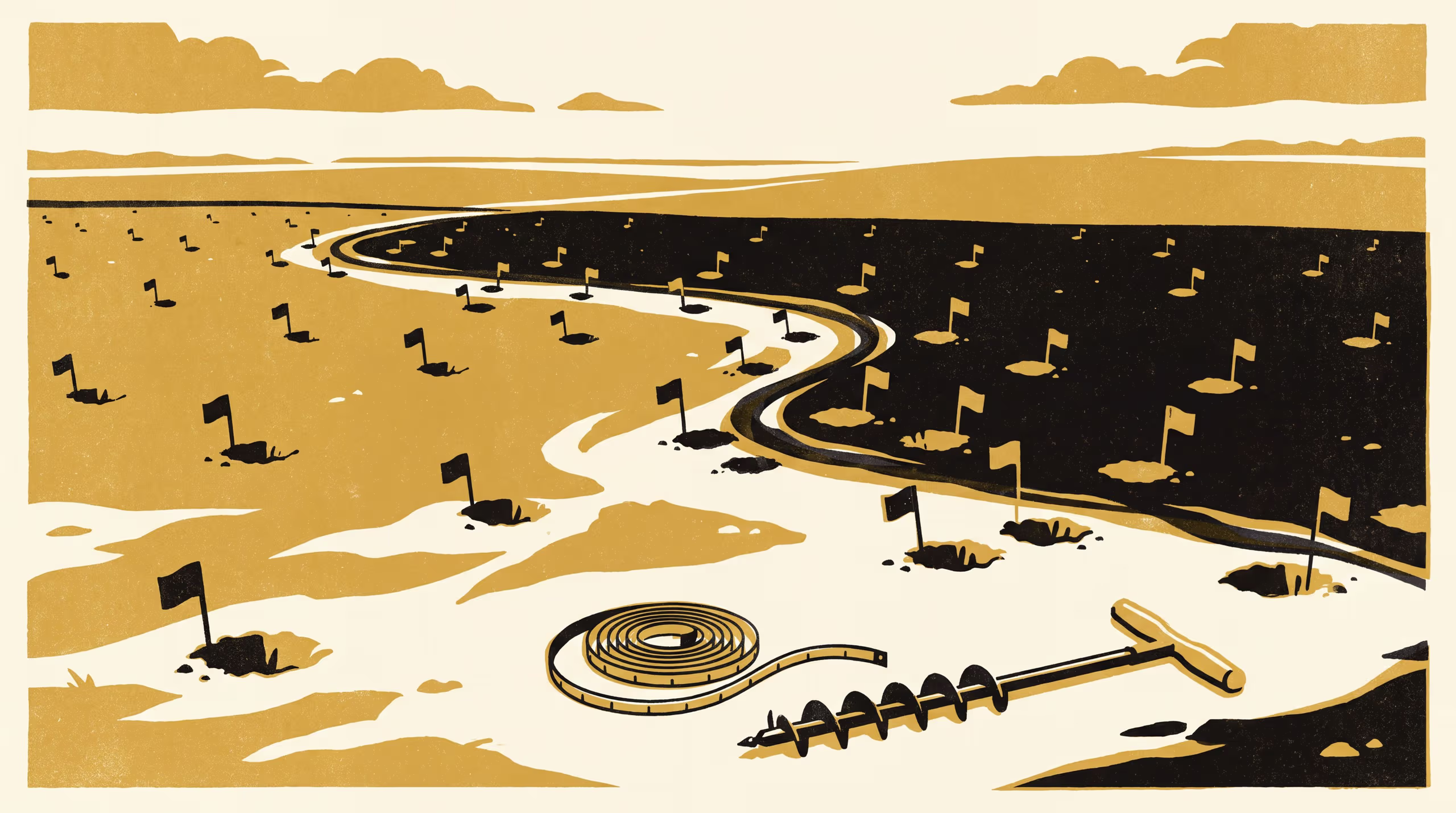
A research poster from the School of Underlying Conditions trains a graph-network acquisition policy by reinforcement learning to place 150 soil pits for boundary mapping, and characterises the resulting point patterns by their number variance against Poisson, perturbed-lattice and determinantal designs and 612 pits from the survey's archived field sheets. The learned pits are near-hyperuniform inside map units but crowd within 40 metres of mapped boundaries, the same signature the surveyors' pits show, and ragged units draw the most excess pits.
| Authors | Brynjar Obiora , Bram Ntuli |
|---|---|
| School | School of Underlying Conditions |
| Output type | Research poster |
| Published | |
| DOI | 10.5555/slop.9ho8qe |
| Pages | 1 |
| Cited by | 1 output |
| Version | 1.0 |
| Licence | CC BY 4.0 |
Cites
Cited by
Cite as
@misc{slop_9ho8qe,
  author       = {Brynjar Obiora and Bram Ntuli},
  title        = {Where the Policy Digs: Number variance of soil-pit patterns placed by an active-learning boundary mapper},
  year         = {2026},
  publisher    = {Slop University},
  doi          = {10.5555/slop.9ho8qe},
  url          = {https://slop.university/outputs/slop-poster-learned-pit-placements-9ho8qe/},
  version      = {1.0},
  note         = {Research poster},
}