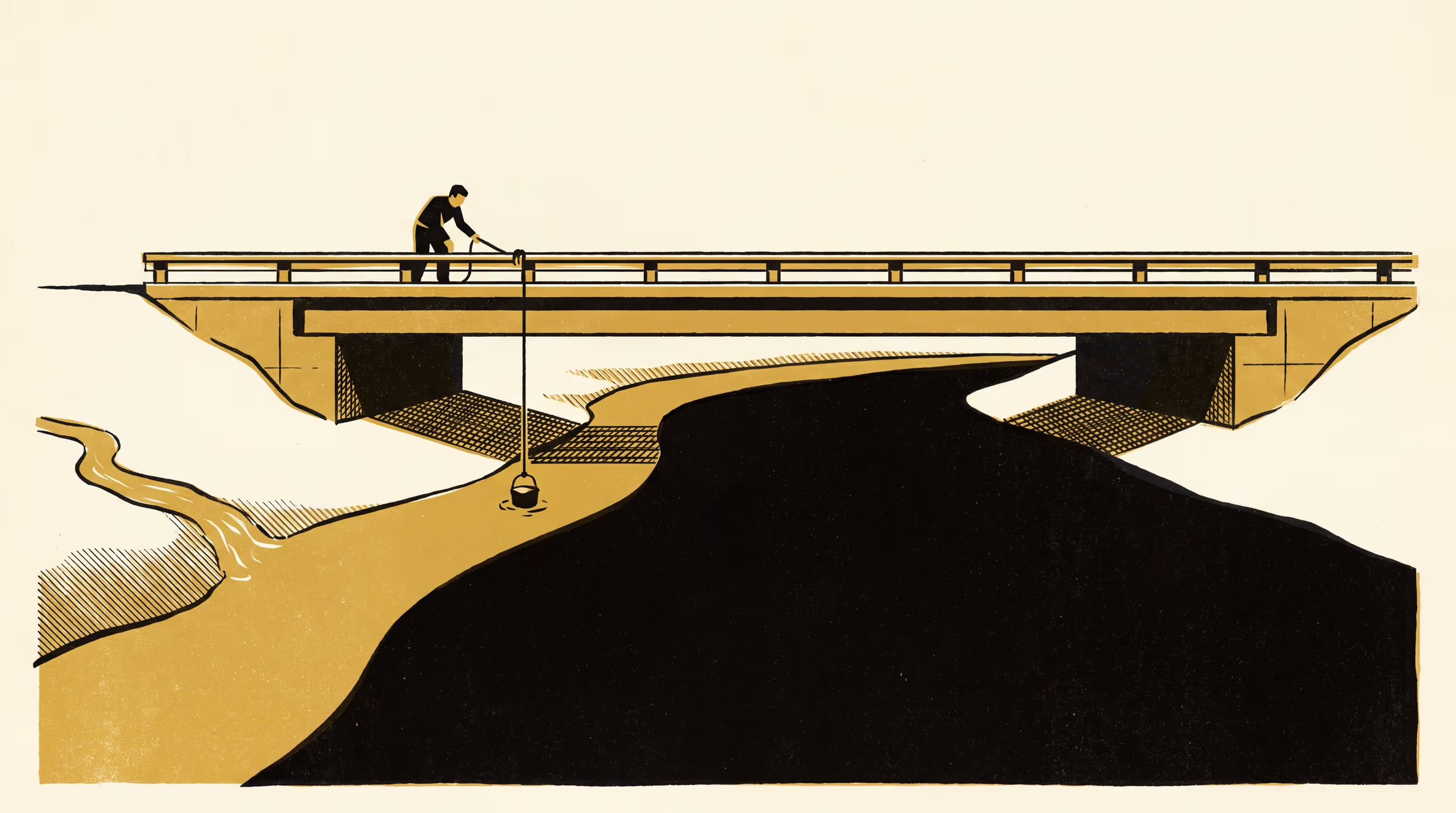
Incomplete lateral mixing below a tributary confluence at a bank-side grab-sampling station
A research poster from the School of Underlying Conditions maps a saline tributary's plume across the channel at six transects below one confluence, over fourteen survey days, and sets a bridge station's left-bank bucket sample against the flow-weighted cross-section mean. Below 15 m³/s the bucket point is about four-fifths tributary water and reads 49 to 114 per cent above the section mean, the gap closing as discharge rises; the poster argues the station's low-flow record is a record of the left bank, and is best read as a tributary series.
| Authors | Brynjar Obiora , Vigdis Emenike |
|---|---|
| School | School of Underlying Conditions |
| Output type | Research poster |
| Published | |
| DOI | 10.5555/slop.3rv5xc |
| Pages | 1 |
| Cited by | 2 outputs |
| Version | 1.0 |
| Licence | CC BY 4.0 |
Cites
Cited by
Cite as
@misc{slop_3rv5xc,
  author       = {Brynjar Obiora and Vigdis Emenike},
  title        = {Which River Does the Bridge Sample?: Incomplete lateral mixing below a tributary confluence at a bank-side grab-sampling station},
  year         = {2026},
  publisher    = {Slop University},
  doi          = {10.5555/slop.3rv5xc},
  url          = {https://slop.university/outputs/slop-poster-incomplete-lateral-mixing-3rv5xc/},
  version      = {1.0},
  note         = {Research poster},
}