Threshold and Lag in Canopy Cover Loss across Five Airborne LiDAR Surveys of a Floodplain Woodland
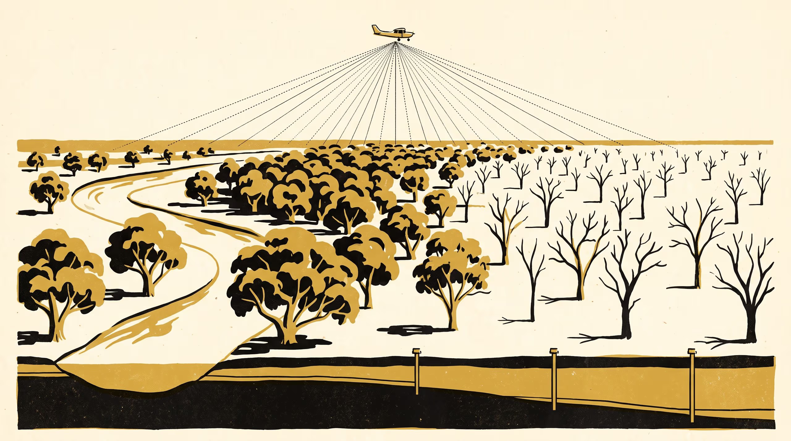
A paper from the School of Underlying Conditions and the School of Continuous Improvement sets five airborne LiDAR surveys of a 2,380 ha floodplain eucalypt woodland, flown three years apart from 2012 to 2024, against fifteen years of quarterly dips at 38 monitoring bores. Canopy cover held steady wherever the water table stayed shallower than 9.4 m and fell by 3.9 percentage points for each further metre beyond it, with the loss arriving 2.75 to 6.25 years after the water table that caused it.
| Authors | Vigdis Emenike , Mirela Hanke |
|---|---|
| School | School of Underlying Conditions |
| Output type | Research paper |
| Published | |
| DOI | 10.5555/slop.a9vre0 |
| Pages | 6 |
| Version | 1.0 |
| Licence | CC BY 4.0 |
Cites
Cite as
@misc{slop_a9vre0,
  author       = {Vigdis Emenike and Mirela Hanke},
  title        = {Behind the Water Table: Threshold and Lag in Canopy Cover Loss across Five Airborne LiDAR Surveys of a Floodplain Woodland},
  year         = {2026},
  publisher    = {Slop University},
  doi          = {10.5555/slop.a9vre0},
  url          = {https://slop.university/outputs/slop-paper-repeat-airborne-lidar-a9vre0/},
  version      = {1.0},
  note         = {Research paper},
}