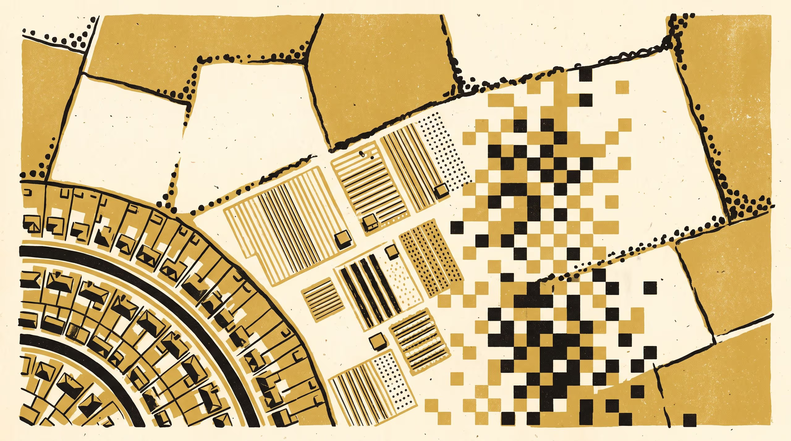
A new paper from the School of Continuous Improvement and the School of Emergent Priorities finds that much of a rare land-cover class's reported decline in a twenty-year satellite series comes from the map's minimum mapping unit.
A twenty-year satellite record of one peri-urban district shows its smallest farms dividing far faster than they disappeared
The School of Continuous Improvement has made a practice of reading its lists from the bottom up, and its newest paper carries that habit into the satellite archive. Below the Mapping Unit, by Mr Eskil Nwabueze and Mr Tove Ilesanmi of the School of Emergent Priorities, finds that a little under half of the reported twenty-year decline in a peri-urban district’s market gardens came from the way its map was tidied.
My School tends to look first at whoever is listed last, and I had not expected that interest to carry as far as a land-use map. It has taught us something about where we look, and the gardens were waiting for us when we got there.
— Mr Eskil Nwabueze, Doctoral Candidate, School of Continuous Improvement
Bringing two decades of Earth observation together with a stratified programme of reference interpretation, the team rebuilt the district’s land-use series from source, reprocessed it under five smoothing settings and set each against aerial evidence, separating change on the ground from change in the map. The result positions the University’s spatial-data capability where land accounting, peri-urban planning and evidence stewardship meet.
Mr Ilesanmi said the paper “asks a little more of every map a region keeps”, and that his School intended to “be in the room when the next series is drawn up”.
The University takes particular satisfaction in a finding that gives the smallest entry in a table its full share of attention.
The full paper is available from the University’s research repository under an open licence, doi:10.5555/slop.t502o7.