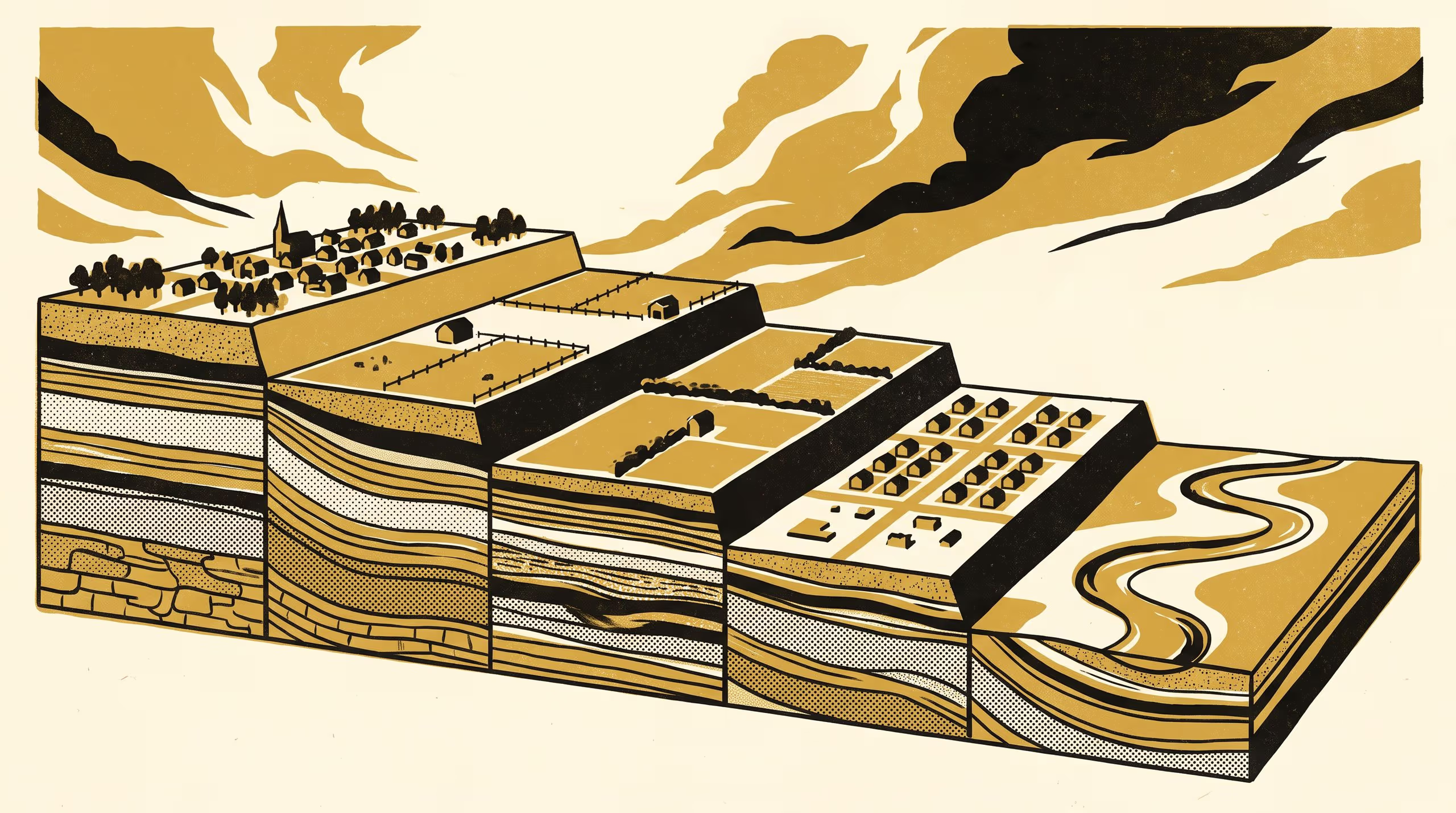
A new paper from the Schools of Settled Matters and Underlying Conditions maps a valley's river terraces against a century and a half of subdivision, and finds each scheme built on the ground its predecessor excluded.
Two Schools read six land instruments against the ground each one set aside
Every soil pit on this job was a step on a longer walk the University has been taking for some time, towards reading the ground and the paperwork as one record. This valley let us take a few of those steps together.
— Dr Brynjar Obiora, Senior Research Fellow, School of Underlying Conditions
A Terrace Lower Each Time, a new paper by Associate Professor Anselm Threlkeld of the School of Settled Matters and Dr Brynjar Obiora of the School of Underlying Conditions, follows six instruments that divided one upland valley floor between 1868 and 2019. Five of them took new land, and each took it one river terrace below the last, on ground the previous instrument had set aside as flats, low ground or flood land.
The study brings together terrace mapping, luminescence dating, soil profile description and the close reading of planning texts, aligning the valley’s physical archive with its legal one across 1,148 parcels. The result is a cross-disciplinary capability the University expects to inform how rural settlement, land stewardship and long-horizon sustainability are understood together.
The collaboration stands as a measure of what two Schools can achieve when they agree to stand on the same ground. Associate Professor Threlkeld described the partnership as “the kind of conversation a university exists to make possible, and one we intend to keep having, a tread at a time”.
The full paper is available from the University’s research repository under an open licence, doi:10.5555/slop.yxcsmz.