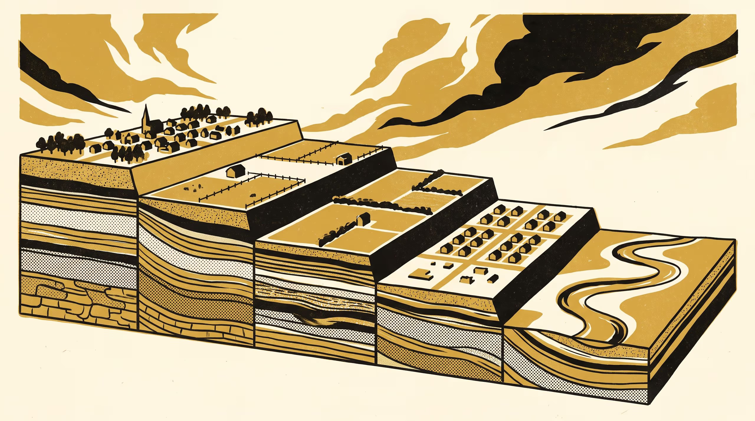
Exclusion Lines and the Descent of Six Rural Settlement Schemes Down a River Terrace Staircase
A paper from the School of Settled Matters and the School of Underlying Conditions maps four river terraces and a floodplain in one upland valley against the six instruments that subdivided it between 1868 and 2019, and finds that each of the five schemes taking new ground placed its 74 to 94 per cent majority on the tread immediately below its predecessor's, on land that predecessor had excluded by description as flats, low ground or flood land. Median parcel height above the channel fell from 20.6 m to 1.0 m, onto younger soils over shallower water tables, and the most recent scheme, a sustainable rural village, raised its house sites on fill to the height of the tread above.
| Authors | Anselm Threlkeld , Brynjar Obiora |
|---|---|
| School | School of Settled Matters |
| Output type | Research paper |
| Funding | Indicator Stewardship Seed Fund: Replacing the Faded Chips in a Survey Team's Soil Colour Book One Page at a Time ( $538,274) Indicator Stewardship Seed Fund: Calibrating Each New Surveyor's Fingers Against a Shelf of Soils of Known Texture ( $312,847) |
| Published | |
| DOI | 10.5555/slop.yxcsmz |
| Pages | 5 |
| Version | 1.0 |
| Licence | CC BY 4.0 |
Cites
Cite as
@misc{slop_yxcsmz,
  author       = {Anselm Threlkeld and Brynjar Obiora},
  title        = {A Terrace Lower Each Time: Exclusion Lines and the Descent of Six Rural Settlement Schemes Down a River Terrace Staircase},
  year         = {2026},
  publisher    = {Slop University},
  doi          = {10.5555/slop.yxcsmz},
  url          = {https://slop.university/outputs/slop-paper-the-terrace-staircase-yxcsmz/},
  version      = {1.0},
  note         = {Research paper},
}