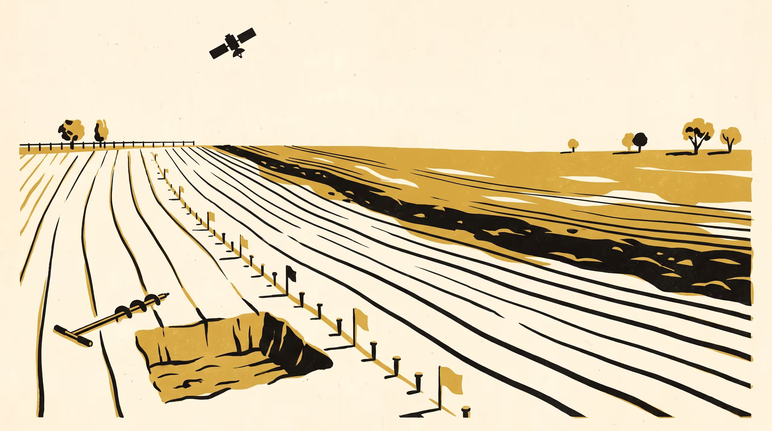
A new paper from the School of Underlying Conditions finds that satellite composites and auger surveys place the same soil boundary tens of metres apart, and explains the gap from the depth of the paddock's cultivation.
Fourteen auger transects show a bare-soil composite tracing where the plough reaches the clay, not where the survey's depth criterion falls
Every line in this paper was drawn with help from people who know their own ground far better than we do. I am grateful that so many of them were willing to tell us how deep they work.
— Dr Brynjar Obiora, Senior Research Fellow, School of Underlying Conditions
The thanks belong to the growers behind Two Lines Across One Soil, a new paper by Dr Brynjar Obiora, Senior Research Fellow in the School of Underlying Conditions, and they point to the paper’s central concern: what happens when the University’s soil survey and an orbiting instrument are asked to find the same boundary in the same paddock.
Across fourteen auger transects in a dryland cropping district, the paper finds the two methods agree on the boundary’s existence and differ on its address, with the satellite’s line sitting between 9 and 75 metres downslope of the survey’s. Rather than treat either line as an error, the study reconciles them, showing that each reads a different part of the profile and that the distance between them can be anticipated from the depth of each paddock’s cultivation.
The work positions surface-facing remote sensing and depth-led field practice as complementary evidence streams, enabling a survey to read imagery against its own criteria and to say plainly which horizon a given map has drawn. It draws on the School’s field colour book, maintained under the Indicator Stewardship Seed Fund.
The University regards the paper as a clear expression of a survey tradition willing to hold its own lines up to another kind of looking.
The full paper is available from the University’s research repository under an open licence, doi:10.5555/slop.1xkaiq.