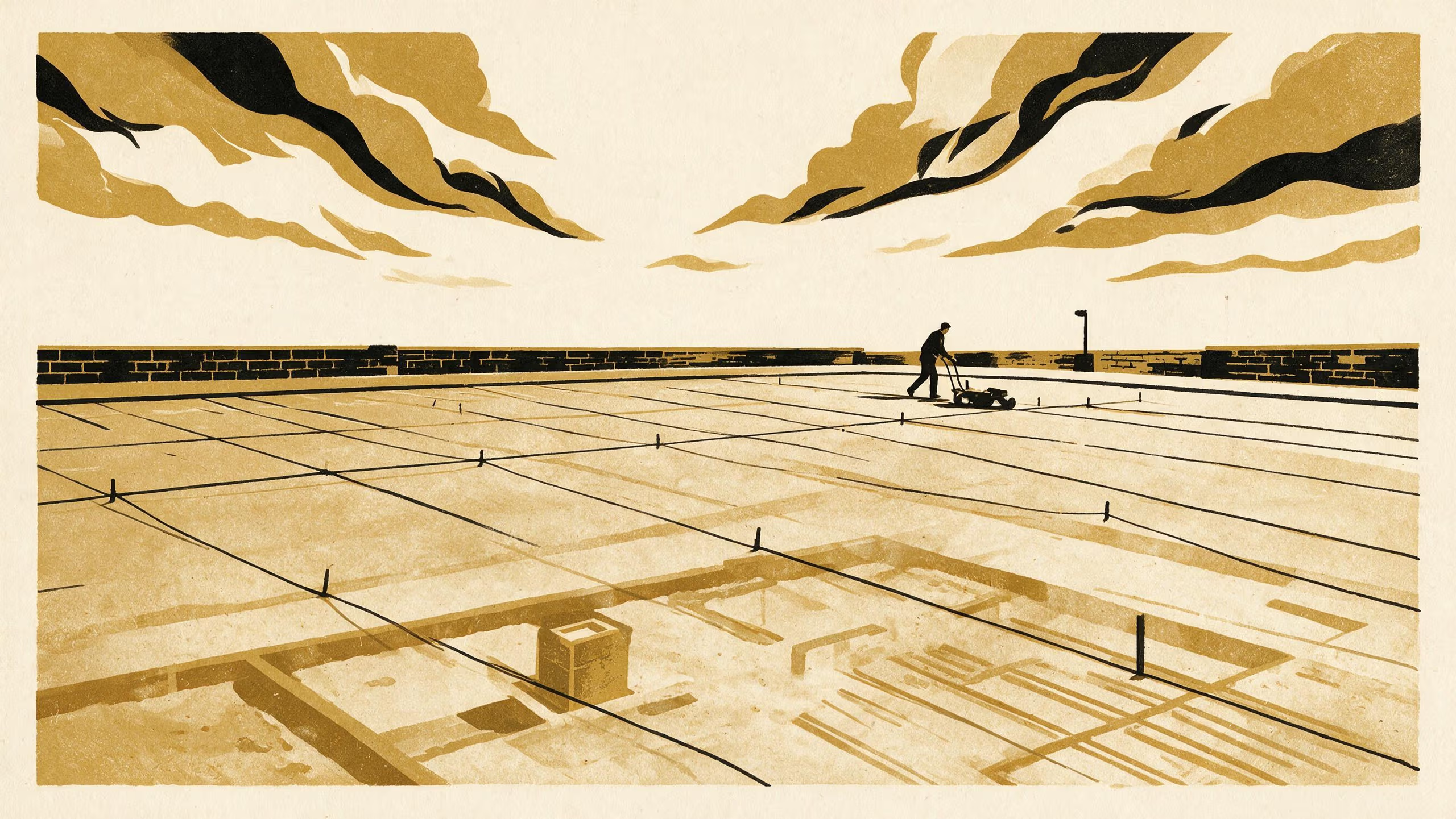
A new research poster from the School of Settled Matters redraws a demolished courthouse registry wing from a sparse ground-penetrating radar survey, and checks the drawing with a spade.
One radar line in three, a reconstruction and four test pits beneath a car park
A courthouse registry wing that left no surviving plans has been redrawn from beneath a car park, using roughly one radar line in every three that a conventional survey would walk.
One Traverse in Three, a new research poster by Dr Odalys Penhallow, Senior Lecturer in the School of Settled Matters, and Associate Professor Ragnhild Uzoma, Lead of the Basement Relations Group in the School of Underlying Conditions, reports both the survey and the excavation that put it to the test.
We owe a great deal to everyone who gave up their parking for a fortnight and asked only when it would reopen. Work of this kind rests on that sort of patience, and we are grateful for it.
— Dr Odalys Penhallow, Senior Lecturer, School of Settled Matters
The project brings archaeological fieldwork, signal-reconstruction approaches and the School’s long engagement with the records courts keep into a single sampling-led workflow, in which a deliberately partial survey anchors the decision of where to dig. Four test pits, placed on the reconstruction alone, confirmed the building’s frame and surfaced a sequence of later alterations, among them a strongroom that was once extended and a floor refitted to carry mobile shelving.
The University regards the poster as a fine instance of two of its schools reading the same ground from either side of the surface. Associate Professor Uzoma said the collaboration had “reminded the Group how much of its own work begins at the top of the profile, and how much there is still to learn there.”
The full poster is available from the University’s research repository under an open licence, doi:10.5555/slop.6q66bb.