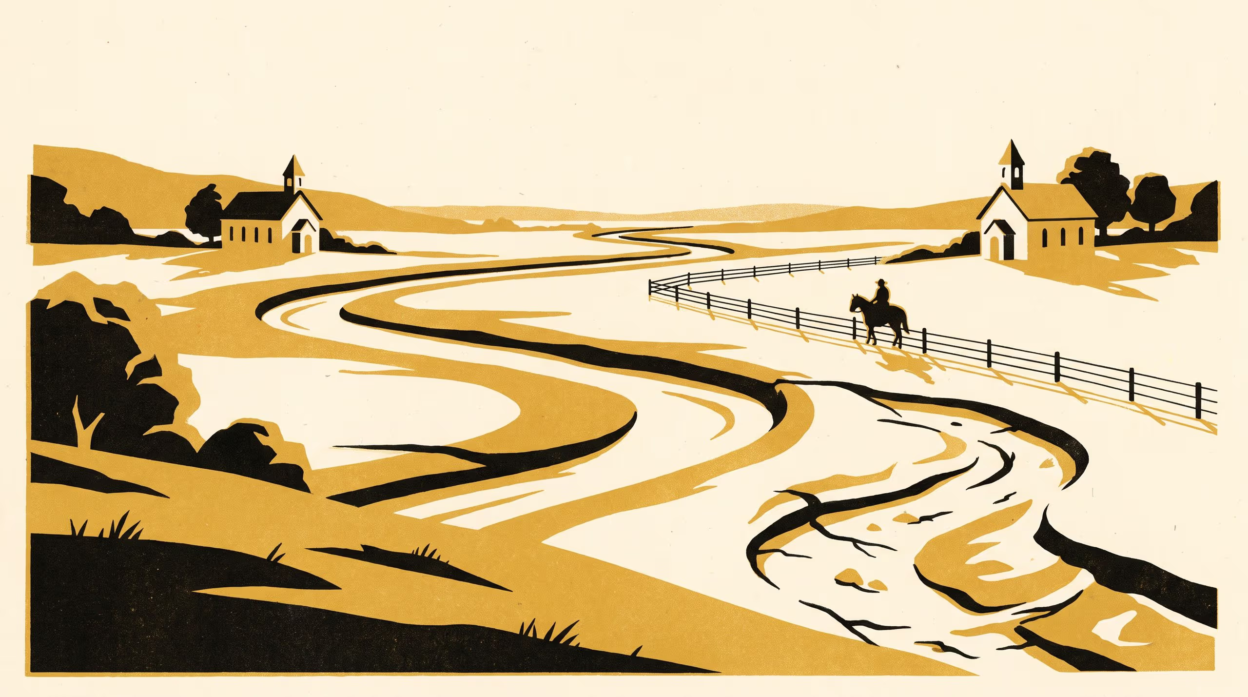
A paper from the School of Underlying Conditions reads a colonial presbytery's minute books to follow a congregational boundary that stayed where a creek had run after the creek itself had moved.
A nineteenth-century presbytery, two congregations and the households on the flats between them
Reading a church court’s minutes the way a field surveyor reads a paddock, Dr Brynjar Obiora, Senior Research Fellow in the School of Underlying Conditions, has traced how one nineteenth-century presbytery divided a river valley between two of its congregations, and what happened to that division when the ground beneath it would not keep still.
On Which Side of the Creek follows a boundary first fixed along a creek, then held in place by the memory of the creek’s old course after a flood cut it a new one, and finally moved to a road. Along the way it asks which elders were responsible for the households living on the line, and finds the answer settled less by where those households worshipped than by where the boundary happened to fall.
We spend most of our working lives deciding where one thing stops and the next begins, and we are always glad when someone asks who the line was drawn for. This time the question was waiting for us on the other side of the archive.
— Dr Brynjar Obiora, Senior Research Fellow, School of Underlying Conditions
The paper brings the School’s survey sensibility into conversation with the history of Reformed church government, positioning the congregational boundary as an instrument of pastoral oversight and situating a single valley’s records within the wider tradition of parish, session and presbytery.
It carries the School’s long attention to boundaries out of the soil pit and into the record room, and the University is pleased to see that attention travel so far from where it began.
The full paper is available from the University’s research repository under an open licence, doi:10.5555/slop.95rp6q.