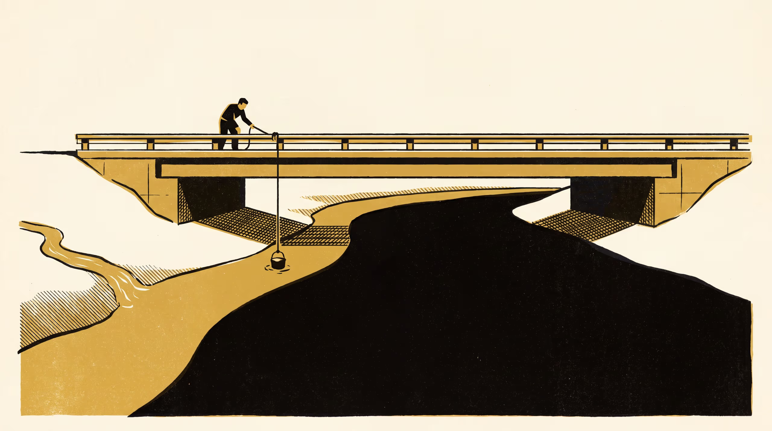
A research poster from the School of Underlying Conditions surveys a tributary plume across the channel below one confluence, and finds that at low flow a bridge station's bank-side grab sample draws mostly tributary water.
Fourteen cross-channel surveys below one confluence follow a tributary plume past a long-term sampling bridge
A record kept faithfully for many years deserves a careful reader. We are glad to have given this one a second look, and we welcome the questions it now puts to all of us who sample from a bank.
— Dr Vigdis Emenike, Senior Lecturer, School of Underlying Conditions
With those words, Dr Emenike and Dr Brynjar Obiora, Senior Research Fellow, introduce Which River Does the Bridge Sample?, a new research poster from the School of Underlying Conditions on how well a single grab sample speaks for the water around it.
The pair returned to one road bridge over fourteen survey days, working outward from the bank across the full width of the channel, and set the station’s familiar monthly sample against a picture of the whole river at six points below the confluence upstream. The study brings the School’s long-standing attention to sampling, siting and the reading of field records to bear on one of the most ordinary acts in water-quality monitoring.
At low flow, the poster finds, about four-fifths of the water at the sampling point had come down the tributary, and the bucket read well above the cross-section as a whole. As discharge rose, the two converged.
“Fieldwork has a way of showing a School which side of things it tends to stand on,” said Dr Obiora.
The University counts the work among its contributions to the careful stewardship of shared waterways, and to the patient business of knowing what a measurement was taken from.
The full poster is available from the University’s research repository under an open licence, doi:10.5555/slop.3rv5xc.