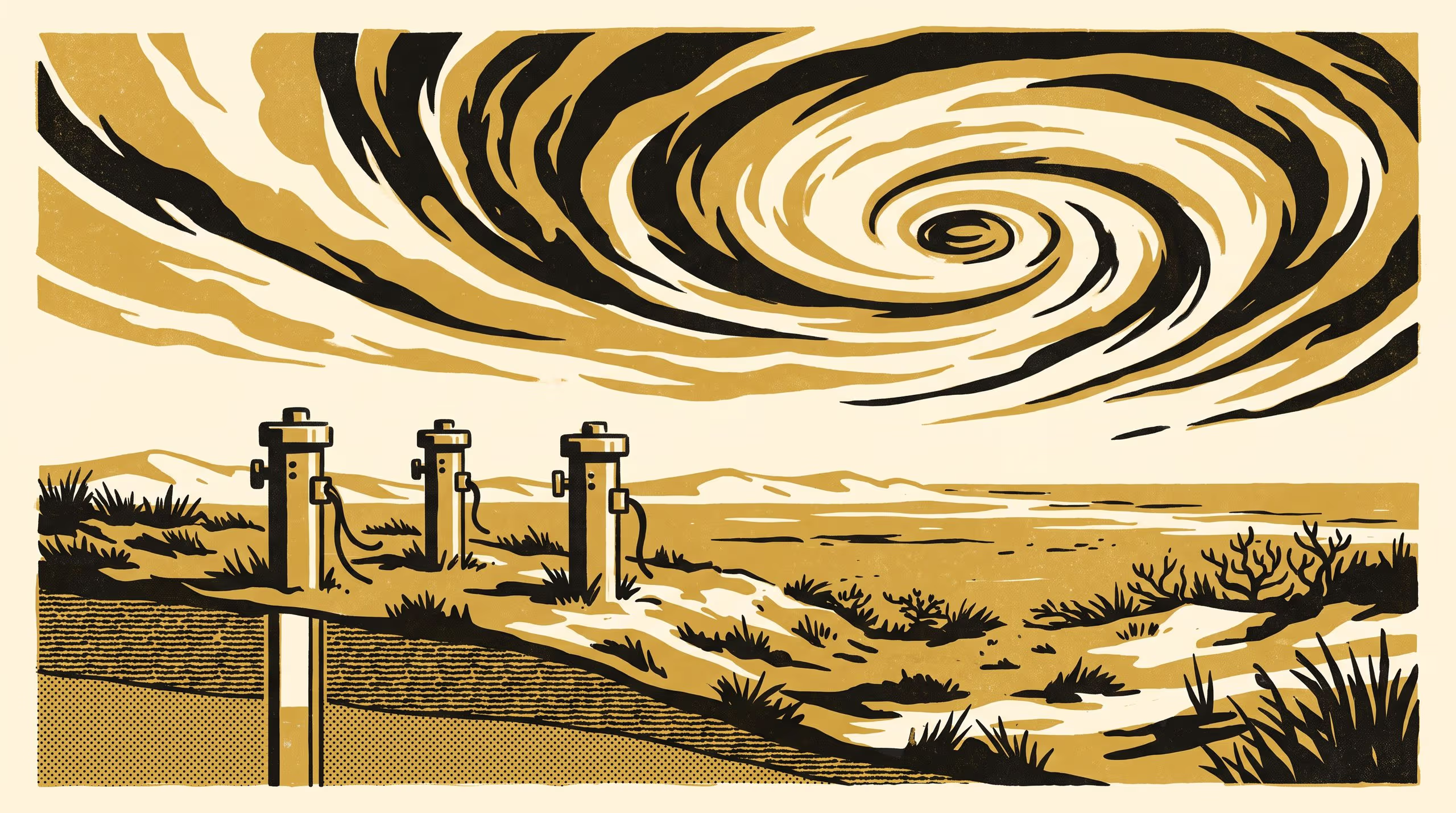
A new paper from the School of Underlying Conditions finds that coastal monitoring bores register a passing tropical cyclone twice, first through falling air pressure and days later through recharge, and sets out how to tell the two apart.
Monitoring bores on a tropical coastal plain rise as the air pressure falls, often a day before the rain that recharges them
When a tropical cyclone crosses the coast, the University’s groundwater researchers now count it twice. In The Storm Arrives Twice, Dr Vigdis Emenike and Associate Professor Ragnhild Uzoma of the School of Underlying Conditions show that bores screened beneath a coastal clay begin to rise as the air pressure falls, in most cases before a drop of rain has landed, and that the rise the rain itself delivers arrives days afterwards.
None of this would be visible without the people who keep the loggers running through every wet season and have never once asked why we wanted the pressure record as well. The second reading is theirs as much as ours.
— Dr Vigdis Emenike, Senior Lecturer, School of Underlying Conditions
The paper brings together long-run logger records, fair-weather response modelling and the network’s own drill logs into a single account of what a bore is reporting at each stage of a storm. Along the way it returns to the core store, where the intervals the drill never recovered turn out to have a bearing on how each bore answers the weather.
“The cores will still be on their shelves long after the storms are forgotten, and it is good to know they have more to say,” said Associate Professor Uzoma, Lead of the Basement Relations Group.
The study extends the School’s patient attention to the standing water level, and to the many things a single reading down a pipe is asked to vouch for.
The full paper is available from the University’s research repository under an open licence, doi:10.5555/slop.1eqykp.