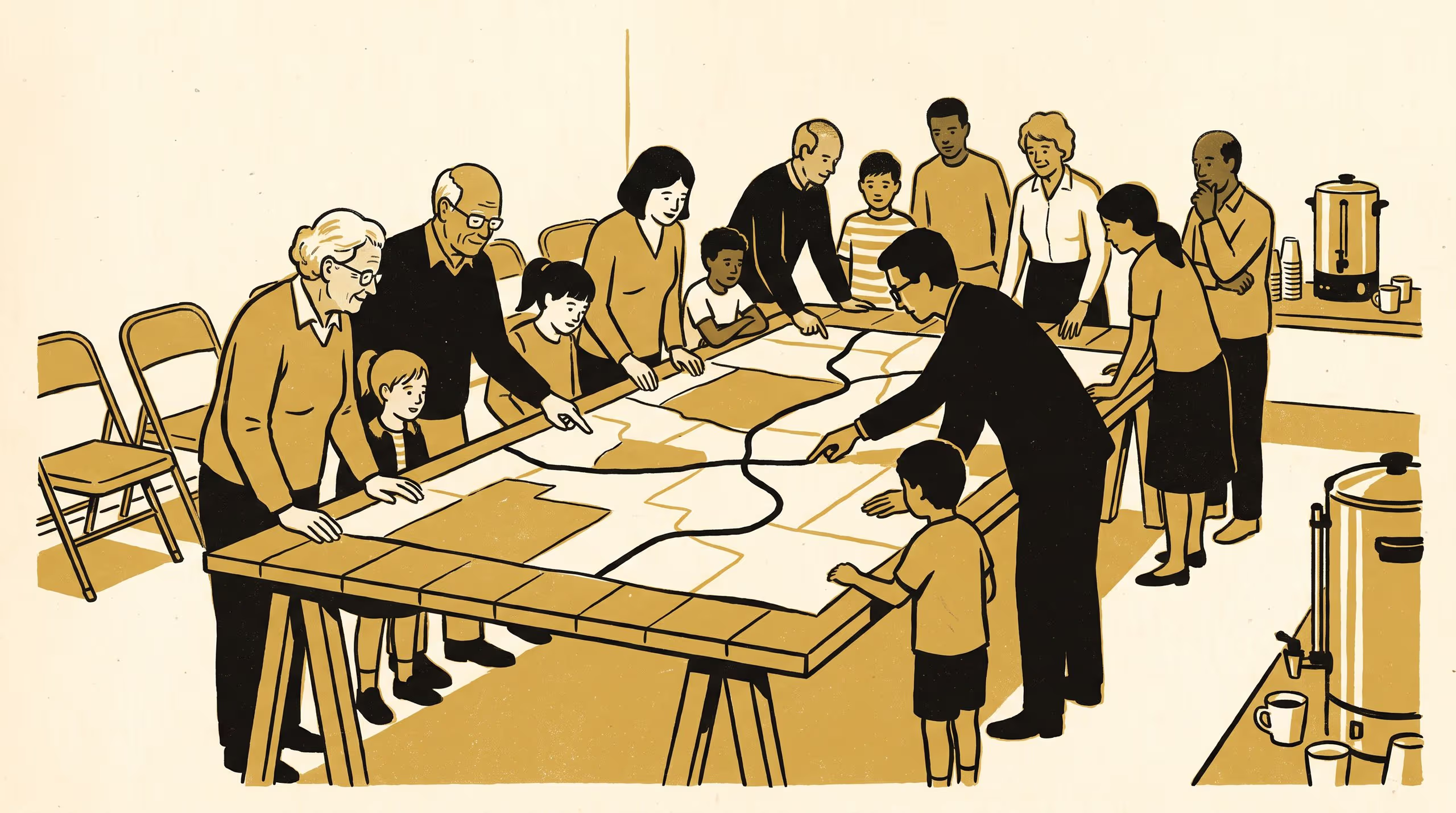
Reading the Signs, a new brochure from Slop University, sets out how its three Schools work alongside the communities whose shared places they study.
A new civic brochure gathers the University's work on soil maps, sign poles, noticeboards and kerbs
Most of what we know about a place, someone outside the University noticed first. This brochure is our way of asking them to keep telling us.
— Dr Brynjar Obiora, Senior Research Fellow, School of Underlying Conditions
With those words Dr Obiora introduces Reading the Signs, a new brochure in which Slop University turns outward to the paddocks, main streets and suburban corners where much of its research is done, and to the people who live there.
Prepared with Dr Anouk Mensah, Postdoctoral Fellow in the School of Emergent Priorities, and Dr Marit Osayande, Lecturer and Convenor of the Living Dashboard in the School of Continuous Improvement, the brochure brings the University’s three Schools into a single conversation about how a community makes sense of its surroundings. It moves from the pencilled boundary on a soil survey map, through the stacked plates of a kerbside pole and the crowded glass of a township noticeboard, to the painted number on a suburban kerb, and anchors each stop in the University’s published record.
The University regards the brochure as a welcome sign of its own maturing civic posture: a research community increasingly at ease being read by the places it reads.
“We have learned a good deal about our own School from the people who stop us at the kerb to ask what we are doing,” said Dr Osayande. “This is the first time we have tried to write some of that down.”
The full brochure is available from the University’s research repository under an open licence, doi:10.5555/slop.vfq9av.