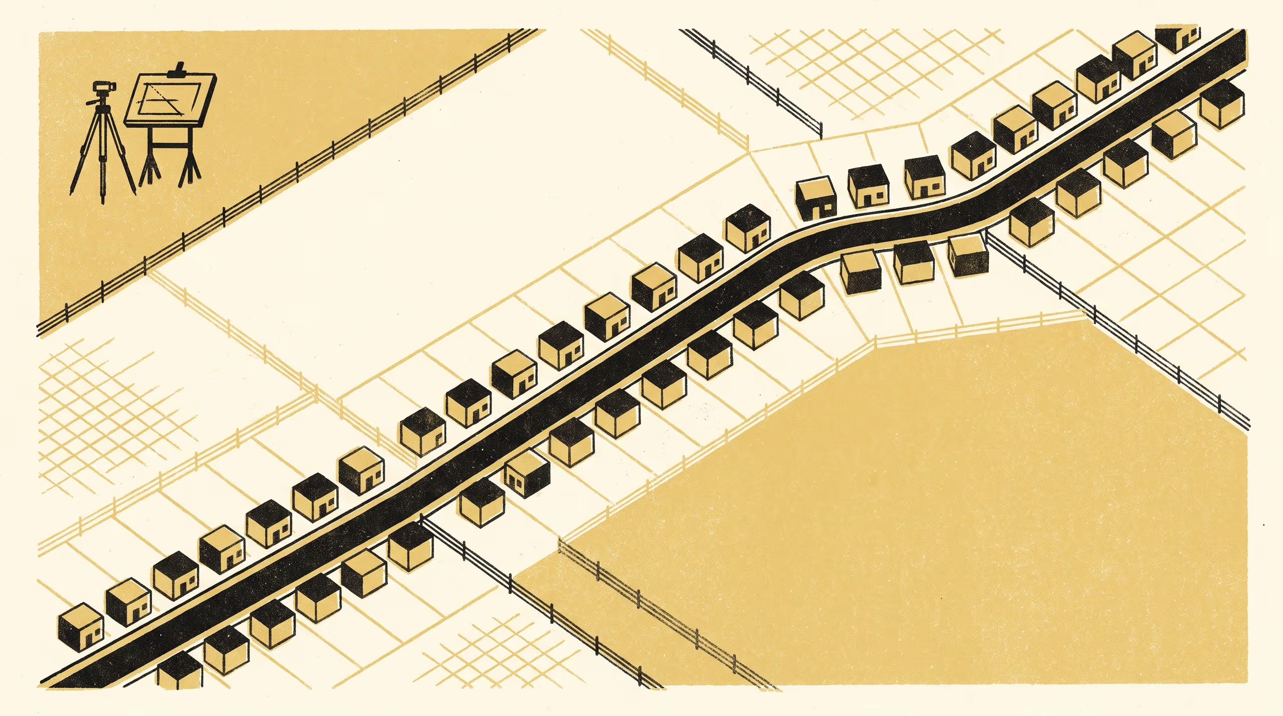
A paper from the School of Underlying Conditions takes the instruments of urban planning to a model ionic liquid and reports ribbon development with a frontage for every lot.
Two hundred plans of a lattice salt are scored for segregation and land-use mix, and return both
The School of Underlying Conditions has, until now, confined its survey practice to ground that somebody owns. Its newest paper sets that habit aside. Mixed by Charge, Zoned by Tail: A Land-Use Reading of a Model Ionic Liquid is the work of Associate Professor Ragnhild Uzoma, Associate Professor and Lead, Basement Relations Group, and Dr Brynjar Obiora, Senior Research Fellow, and it treats a computed arrangement of charged and uncharged particles as a town awaiting its first planner.
We went in expecting to be the only people in the district, and we were. It is a courtesy the field does not often extend, and we have tried to leave the place as we found it.
— Associate Professor Ragnhild Uzoma, Lead of the Basement Relations Group
The paper mobilises a tract-to-frontage-to-block framing across 200 plans of a lattice model, pairing the measures a planning office would apply to a suburb with a setting that has no council. It reports the charged particles gathered along ribbons two cells wide, the uncharged tails settled in single-use blocks behind them, and no cell of any block further from a street than its tail is long. Asked whether the result is segregated or mixed, the instruments answered yes.
The University takes a settled satisfaction in a school of earth scientists returning from a liquid with a zoning opinion, and understands the paper to make no claim about any actual salt. Dr Obiora said the School had “drawn a number of boundaries over the years and is grateful to have been handed some that were already there”.
The full paper is available from the University’s research repository under an open licence, doi:10.5555/slop.yqsoxk.