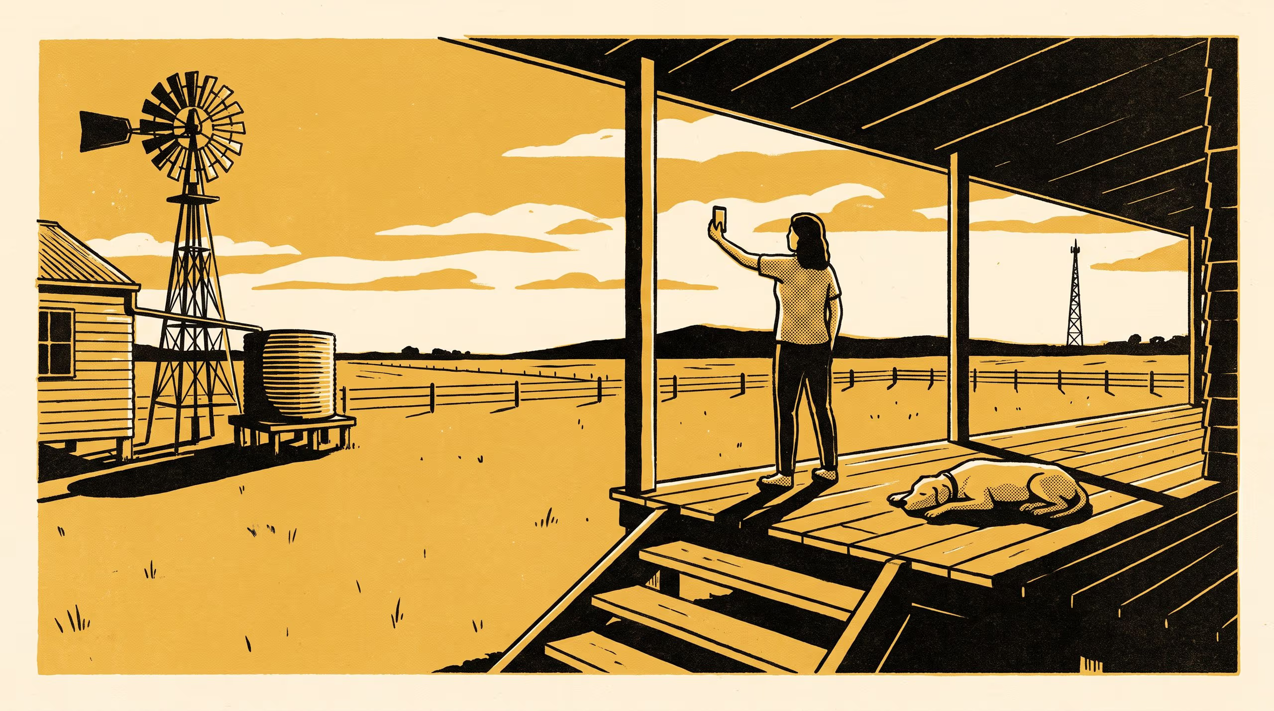
A new Slop University research poster measures mobile signal at 612 points against the published coverage classes a shire's connectivity reporting and its blackspot submissions are both drawn from, and finds the measured class matching the modelled one at 41.2 per cent of points.
A stratified measurement campaign across 612 points in one shire finds the modelled coverage class met at two points in five, and the shortfall sitting almost entirely inside ground counted as served
A funding program that will only consider a site where the map shows nothing has quietly made the map the subject. That criterion, and the propagation model underneath it, is what the School of Continuous Improvement carried into fourteen rural localities this season.
Covered, Standing at the Gate, a research poster released today, sets a published coverage map beside a receiver. Dr Marit Osayande, Dr Joost Nwosu and Dr Bram Ntuli sampled 612 points at the frontage of 187 dwellings over eleven weeks, reading the modelled class from the map at each point and assigning a measured class on the map’s own published thresholds. Ninety-four households also marked where in the property they go to place a call.
Measured signal met the threshold of its modelled class at 41.2 per cent of points, and the disagreement ran one way: below the modelled class at 54.6 per cent, above it at 4.2. Of the points falling short, 95.2 per cent sat inside ground the map counts as served. The nominated call spots were a median 183 metres from the dwelling, and seven in ten of them were inside modelled coverage as well.
We went out to check an instrument and came back holding a rule. Where the program can look has turned out to be a property of the model rather than of the country.
— Dr Marit Osayande, Lecturer and Convenor, Living Dashboard
Dr Nwosu, who has spent several years following what becomes of a measure once it is written into a criterion, notes that “the shire has reported the same figure for four years, and nothing we measured is capable of moving it.”
The work extends the School’s programme on the instruments an institution inherits and rarely revisits, and it is a line of inquiry the University is glad to see continue. The full poster is available from the University’s research repository under an open licence, doi:10.5555/slop.njwl45.